
Project Overview
The project involved two key components: a comprehensive topographical survey of a 1000-hectare area for A’Namaa Poultry Co. S.A.O.C., and a detailed survey of the Ibri External Road spanning 100 kilometers. This dual-faceted project was crucial for the development of A’Namaa Poultry's infrastructure and the enhancement of road connectivity in the Ibri region.
Objective
The goal was to provide accurate and detailed topographical data for both the poultry company’s land development and the road construction project. The survey was essential for planning, design, and execution of construction works in both areas.
Challenges
Conducting a precise and extensive survey over a vast area of 1000 hectares for the poultry company. Surveying a 100 km stretch of the Ibri External Road, which involved complex terrain and environmental considerations. Ensuring minimal disruption to local activities and traffic during the road survey.
Solutions Implemented
1. Advanced RTK Drone Surveys:
- Utilized RTK drones for high-precision aerial surveys over both the 1000-hectare land and the 100 km road stretch.
- Planned systematic drone flights to ensure complete coverage and data accuracy.
2. Data Processing and Analysis:
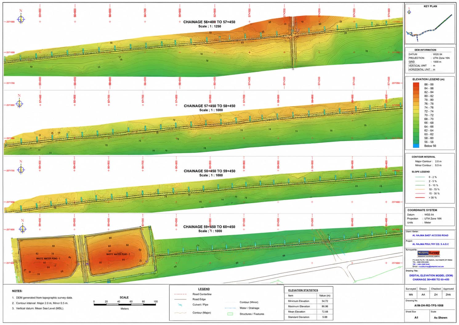
- Processed the aerial data using Pix4D Mapper, creating detailed 2D Ortho-mosaics, 3D models, and Digital Elevation Models (DEMs).
- Integrated aerial data with ground survey measurements for comprehensive mapping.
3. Road Survey Specifics:
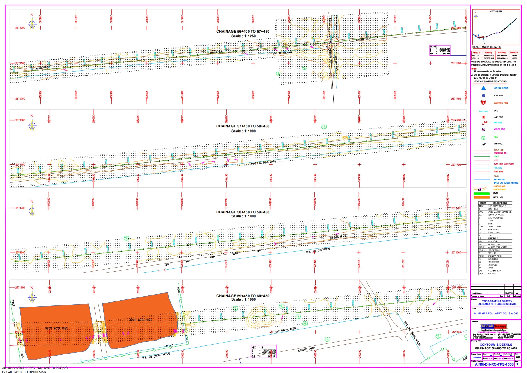
- Focused on capturing critical details along the road, such as elevation changes, potential obstacles, and existing infrastructure.
- Coordinated closely with local authorities to manage traffic and ensure safety during survey operations.
Outcomes
The project successfully delivered high-precision topographical data, facilitating the strategic planning and development for A’Namaa Poultry Co. S.A.O.C. The detailed survey of the Ibri External Road provided essential information for road design and construction, enhancing connectivity and infrastructure in the region. This case study highlights the effectiveness of integrating drone technology with traditional survey methods to achieve high accuracy.
