
Equipment & Technology
Precision instruments supporting land, marine, drone and geospatial survey delivery.
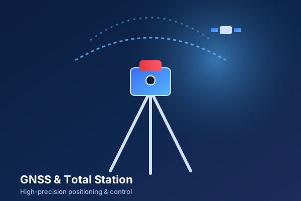
GNSS & Total Stations
High-precision positioning for control and setting out.
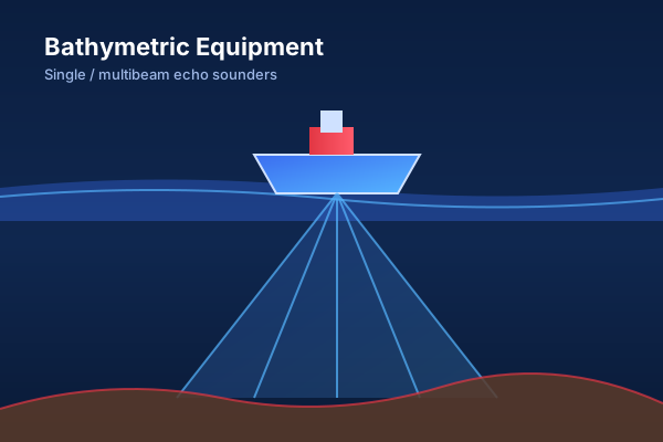
Single / Multibeam Echo Sounder
Bathymetric and hydrographic depth profiling systems.
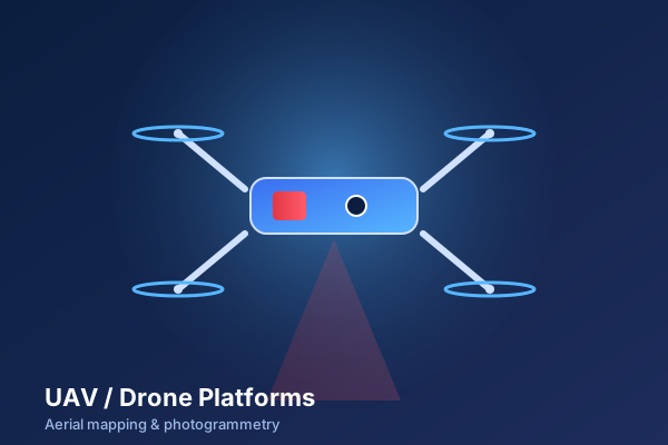
UAV Photogrammetry Platforms
Drone-based orthomosaic and terrain modelling workflows.
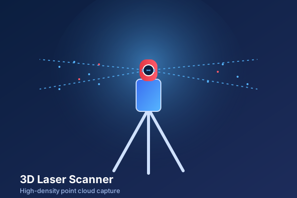
3D Laser Scanners
Accurate point cloud capture for BIM and as-built studies.
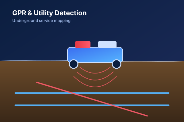
GPR & Utility Detection
Subsurface utility detection and underground service mapping.
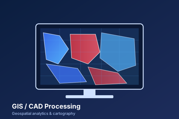
GIS / CAD Processing
Geospatial analytics, CAD drafting and map intelligence delivery.
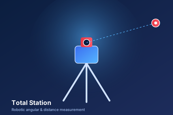
Robotic Total Stations
Angular and distance measurement for engineering and as-built work.

Mobile Mapping Systems
Corridor capture at highway speeds for linear assets.
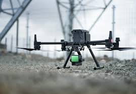
UAV LiDAR
Aerial point cloud capture for terrain, vegetation and corridor projects.