• Welcome To Nusail Surveys

CONTACT US

If You Have Any Query,
Please Feel Free Contact Us Sultanate Of Oman

Our Address

Building No: 9459A: Way No897, Mawalew North,P.O.Box :143, Postal Code: 311 Sultanate of Oman

Email Us

anand@nusailec.com

Call Us

+(968) 24271236 / 99273517

CONTACT US

If You Have Any Query,
Please Feel Free Contact Us Saudi Arabia

Our Address

Nusail Engineering Consultancy , King Fahd Rd ,Al Olaya Riyadh 12212,Saudi Arabia

Email Us

info@nusailec.com

Call Us

+(966) 597395484

CONTACT US

If You Have Any Query,
Please Feel Free Contact Us UK

Our Address

Nusaul Enhineering Consultancy,1 Albert Embankment, LONDON,SE1 7XQ, UK.

Email Us

info@nusail.co.uk

Call Us

+44 (0)2045478801 / (0)7440309646

OUR SERVICES

Precision Surveying: Reliable, Expert Services

Hydrographic and Oceanographic Surveys,survey companies near me

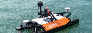
Hydrographic and Oceanographic Surveys

NUSAIL Engineering Consultancy specializes in accurate underwater data through hydrographic and oceanographic surveys. Our expertise supports sustainable development and management.

Learn more
Mobile Mapping Applications,hydrographic survey vs bathymetric survey

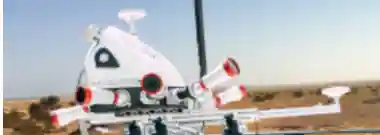
Mobile Mapping Applications

NUSAIL Engineering Consultancy is a leader among mobile mapping companies, utilizing advanced mobile mapping systems to deliver precise geospatial data. Our mobile mapping applications streamline the collection of detailed terrain and infrastructure information, enhancing accuracy and efficiency for a variety of projects.

Learn more
GIS and Remote Sensing,oceanographic survey ship

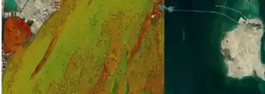
GIS and Remote Sensing

NUSAIL leverages GIS and Remote Sensing for strategic planning and resource management, transforming geospatial data into actionable insights.

Learn more
3D Laser Scanning Surveys,hydrographic and bathymetric survey

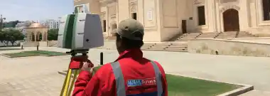
3D Laser Scanning Surveys

NUSAIL Surveys employs cutting-edge 3D laser scanning for precise mapping and infrastructure surveys, ensuring accurate results.

Learn more
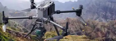
Drone Aerial Surveying and Geo-Mapping,drone surveying

Drone Aerial Surveying and Geo-Mapping

Nusail utilizes drone technology for high-resolution terrain mapping and accurate data collection, enhancing project precision.

Learn more
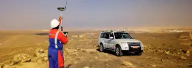
Land Surveying / Topographic Survey,drone survey mapping

Land Surveying / Topographic Survey

NUSAIL specializes in Land and Topographic Surveys, offering precise Earth's surface measurements for project development.

Learn more
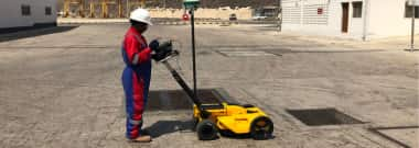
Utility Survey,drones surveying and mapping

Utility Survey

NUSAIL offers Utility Surveys for accurate underground utility mapping, ensuring safe and efficient project management.

Learn more