
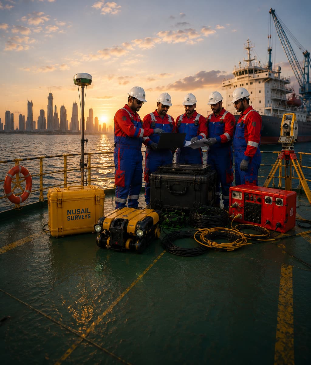
Surveying & Mapping Experts
26 YEARS RUNNING
Our Story
Established in 2000 in the Sultanate of Oman, Nusail Engineering Consultancy has been delivering professional surveying, mapping and engineering consultancy services for 26 years. From our Oman base, we have expanded our operations to support projects across the UK and Saudi Arabia, serving infrastructure, marine, construction, environmental and development sectors.
Our expertise includes 3D laser scanning surveys, aerial surveying and geo-mapping, UAV LiDAR surveys, topographic surveys, land surveying, hydrographic and bathymetric surveys, Geographic Information Systems (GIS), highway engineering, road engineering and geotechnical engineering support. We combine practical field experience with modern survey technology to provide accurate, reliable and cost-effective project solutions.
For more than 26 years, our objective has remained the same: to exceed client expectations through professional service, prompt project delivery, technical accuracy and flexible support. With Nusail Engineering Consultancy as your survey and mapping partner, your projects are handled by an experienced team with strong regional knowledge and international capability.
Our Mission, Vision & Commitment
Driven by precision, powered by innovation.

Our Mission
Our mission is to deliver world-class surveying, mapping, and geospatial solutions across Saudi Arabia and beyond. We aim to combine advanced technology, accuracy, and expertise to support infrastructure, marine, and environmental projects with reliable data and insights.

Our Vision
Our vision is to be recognized as a leading surveying and geospatial consultancy in the Middle East — setting benchmarks in quality, innovation, and client satisfaction, while contributing to sustainable development through precise data solutions.

Our Commitment
We are committed to maintaining the highest standards of quality, safety, and professionalism. Every project we undertake reflects our dedication to precision, sustainability, and long-term partnerships built on trust and excellence.
Our Core Values
The principles that define our culture and commitment.
Innovation
We continuously explore advanced technologies like UAV LiDAR, GIS mapping, and 3D laser scanning to deliver next-generation solutions.
Integrity
Honesty, transparency, and ethical practices are at the heart of every project we deliver.
Teamwork
Our diverse team collaborates seamlessly, blending expertise across geospatial, marine, and civil engineering disciplines.
Excellence
We maintain the highest industry standards in quality, safety, and client satisfaction.
Happy Clients
Projects
Hours Of Support
Hard Workers
Why You Should Trust Us? Learn More About Us!
Trust our expertise in surveying, as we combine cutting-edge technology, a client-centric approach, and a highly skilled team to deliver precise, reliable, and innovative surveying solutions tailored to your project needs. Experience the NUSAIL difference for yourself!
Design Approach
NUSAIL Engineering Consultancy combines client collaboration, technological innovation, and multidisciplinary expertise to provide tailored, precise surveying solutions across a wide range of services, ensuring successful project outcomes
Innovative Solutions
Innovative Solutions specializes in advanced, precise surveying techniques, leveraging cutting-edge technology and expertise to provide tailored services, ensuring client satisfaction and successful project completion.
Project Management
Project management skillfully orchestrates planning, execution, control, and closure of projects, achieving objectives within set timelines and budgets. This process optimizes resources, tasks, and stakeholder collaboration, ensuring project success
Quality Assurance & Safety
Precision and protection are the foundation of every project.
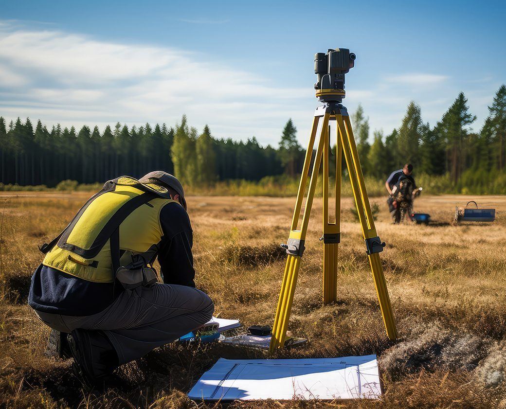
NUSAIL Engineering Consultancy upholds the highest quality and safety standards in all our surveying operations across Oman. Every project undergoes strict validation, calibration, and compliance checks to ensure accuracy, reliability, and client satisfaction.
- ISO-Compliant Project Execution: Our workflows meet international quality management standards for consistent and accurate results.
- Equipment Calibration: Regular maintenance and calibration of UAVs, LiDAR, GPS, and sonar systems ensure precision on every survey.
- On-Site Safety & Responsibility: We follow Omani HSE guidelines, prioritizing safe practices and environmental sustainability.
- Dedicated QA/QC Engineers: Our team monitors data quality, ensuring all deliverables meet technical and client specifications.
Our commitment to excellence makes NUSAIL one of the most trusted surveying and mapping companies in Oman.
Technology & Innovation
Transforming data into insight through advanced geospatial tools.
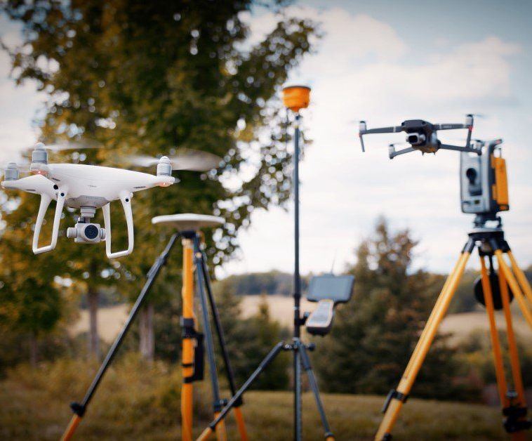
Our team leverages the latest in geospatial technology to deliver unmatched accuracy and efficiency. We integrate UAV LiDAR mapping, 3D laser scanning, GPS/GNSS surveying, hydrographic and bathymetric systems to produce precise datasets for complex engineering and environmental projects.
Our investment in innovation ensures that we stay ahead in delivering cutting-edge solutions for marine, land, and aerial surveying across Oman, the Middle East, and international markets. From drone-based topographic mapping to advanced hydrographic and geophysical surveys, we continuously refine our techniques to meet evolving industry demands.
By combining the power of GIS analytics, real-time data processing, and 3D visualization, NUSAIL Engineering Consultancy transforms raw survey data into actionable insights. This approach enables engineers, developers, and government agencies to make informed decisions — reducing project timelines, minimizing risks, and optimizing resources through data-driven precision.
Global Presence
Serving clients across Oman, Saudi Arabia, and the United Kingdom.
Oman
Headquarters established in 2000 with extensive experience in national infrastructure and marine development projects.
Saudi Arabia
Delivering cutting-edge surveying solutions for coastal, topographic, and infrastructure development projects across the Kingdom.
United Kingdom
Supporting global collaborations and innovation initiatives in advanced geospatial technologies and data analytics.
Ready to Start Your Next Project?
Partner with NUSAIL Engineering Consultancy for precision, innovation, and trust in every survey.
Contact Us