Client Success Stories: Oman Surveying Excellence
Our survey company in Oman is dedicated to providing accurate and reliable land surveying services tailored to the unique needs of our clients. We are committed to maintaining high standards of quality, which has helped us build long-standing relationships with clients in various industries, including construction and environmental management.
Using advanced technology, such as 3D laser scanning, drone topographic surveys, and mobile mapping applications, we ensure precise results. We have extensive experience in conducting comprehensive land surveys, topographic surveys, hydrographic surveys, and bathymetric surveys, which enables us to provide valuable insights into both natural terrains and urban infrastructures.
Our approach is centered around clear communication, transparency, and flexibility, which has helped us deliver successful projects and establish lasting partnerships with our clients. We are constantly striving to improve our services by incorporating remote sensing, GIS, Environmental and working closely with the National Survey Authority of Oman. This enables us to offer versatile surveying solutions that cater to the different needs of our diverse client base.
Our Clients
OUR SERVICES
Precision Surveying: Reliable, Expert Services

Hydrographic and Oceanographic Surveys
NUSAIL Engineering Consultancy specializes in accurate underwater data through hydrographic and oceanographic surveys. Our expertise supports sustainable development & management.
Learn more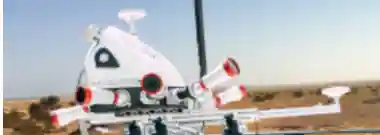
Mobile Mapping Applications
NUSAIL Engineering Consultancy is a leader among mobile mapping companies, utilizing advanced mobile mapping systems to deliver precise geospatial data.
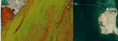
GIS and Remote Sensing
NUSAIL leverages GIS and Remote Sensing for strategic planning and resource management, transforming geospatial data into actionable insights.

3D Laser Scanning Surveys
NUSAIL Surveys employs cutting-edge 3D laser scanning for precise mapping and infrastructure surveys, ensuring accurate results.
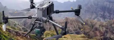
Drone Aerial Surveying and Geo-Mapping
Nusail utilizes drone technology for high-resolution terrain mapping and accurate data collection, enhancing project precision.
Learn more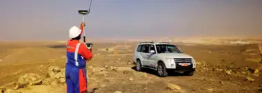
Land Surveying / Topographic Survey
NUSAIL specializes in Land and Topographic Surveys, offering precise Earth's surface measurements for project development.

Utility Survey Services
NUSAIL offers Utility Surveys for accurate underground utility mapping, ensuring safe and efficient project management.


