
GIS mapping Oman
GIS mapping and geospatial delivery
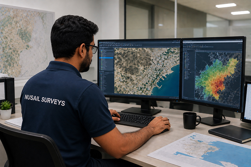
Structured geospatial datasets, analysis and map products that connect field survey to decision-making. Nusail supports GIS mapping Oman commissions alongside topographic, drone and utility work so layers align and metadata is preserved.
What we support
Database design, feature coding, spatial analysis and publication-ready cartography for internal or stakeholder use. We can ingest survey CAD, drone outputs and marine grids into a consistent GIS environment where the project requires it.
Applications
- Asset and corridor mapping
- Environmental and planning baselines
- Integration of multi-source survey data
- Map series for reports and public consultation
Geospatial survey portfolio
Our geospatial survey portfolio Oman spans land and marine projects; GIS is often the delivery layer that unifies those inputs. The case studies below emphasise field acquisition—ask us how GIS packaging applies to your dataset.
Related services
Portfolio / Selected case studies
Selected project experience demonstrating Nusail’s capability in land, marine, drone and geospatial survey projects. Full project references can be provided upon request.
Portfolio entries focus on survey acquisition; GIS and mapping deliverables are scoped per contract.
Contact / request quotation
Describe your coordinate reference, layer list, software preferences and sharing constraints.
Oman office
Building No. 9459A, Way No. 897, Mawaleh North, P.O. Box 143, Postal Code 311, Sultanate of Oman