Coastal-Risk-Management
Coastal-Risk-Management
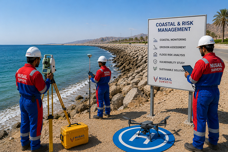
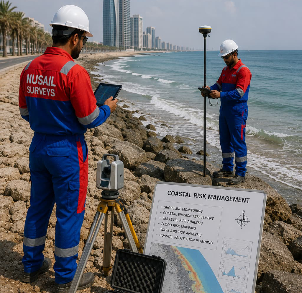
Coastal risk assessment, monitoring, and resilience planning for shorelines, ports, industrial facilities, and infrastructure assets. Nusail provides coastal risk management services that combine survey data, terrain and bathymetric models, and geospatial analysis to evaluate erosion, flooding, storm surge, and shoreline change. Our expertise supports informed decision-making, sustainable coastal development, and long-term protection of critical infrastructure and coastal environments.
Coastal-Risk-Management
At Nusail Engineering Consultancy, we deliver comprehensive Energy & Utility Asset Services to support the reliable operation, planning, and maintenance of critical infrastructure. Our expertise spans power transmission lines, oil & gas pipelines, water distribution systems, and renewable energy assets. By combining advanced surveying, remote sensing, and digital mapping technologies, we provide accurate data and actionable insights that enable clients across Oman, Saudi Arabia, the UAE, and the UK to manage their energy and utility networks with confidence.
Our utility asset management services include pipeline inspection, overhead line surveys, substation mapping, and utility condition assessments. We utilize innovative methods such as LiDAR surveys, UAV inspections, and ground-based scanning to detect faults, assess structural integrity, and identify risks before they escalate. These solutions help reduce downtime, optimize maintenance, and ensure compliance with international safety and operational standards.
As a trusted partner in energy infrastructure design and surveying, we support government authorities, energy providers, and private developers in delivering sustainable and resilient projects. Whether you require power infrastructure surveys, oil & gas asset mapping, or utility inspection services, Nusail ensures precision, safety, and efficiency at every stage. Our Energy & Utility Asset Services are tailored to meet the complex demands of modern infrastructure, enabling smarter resource management and long-term operational success.
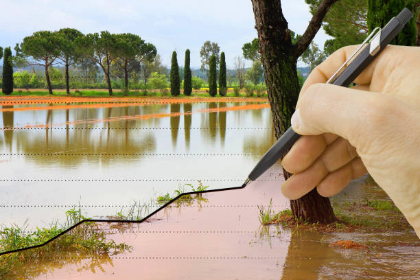
Flood Risk Modelling & Drainage Analysis
Advanced hydrological and hydraulic modelling to assess flood hazards, stormwater flow, and drainage system performance for sustainable infrastructure planning.
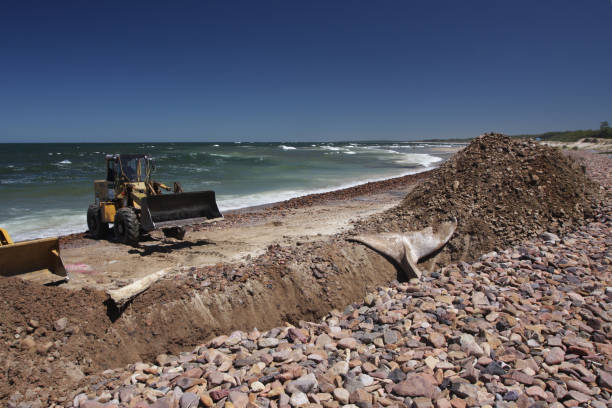
Coastal Erosion & Sediment Transport Studies
Detailed coastal process analysis to evaluate shoreline changes, sediment movement, and wave impacts for marine and coastal infrastructure projects.
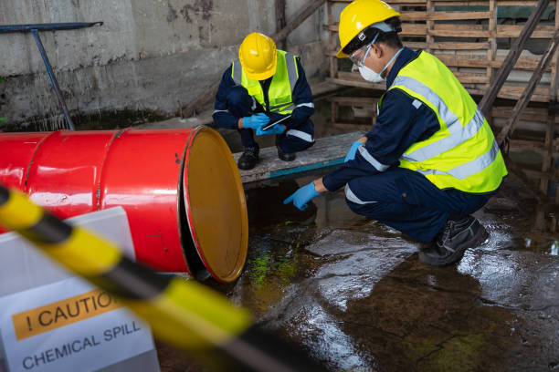
Oil Spill Modelling & Emergency Response Mapping
Predictive oil spill simulations and GIS-based mapping to support emergency response planning and environmental risk mitigation.
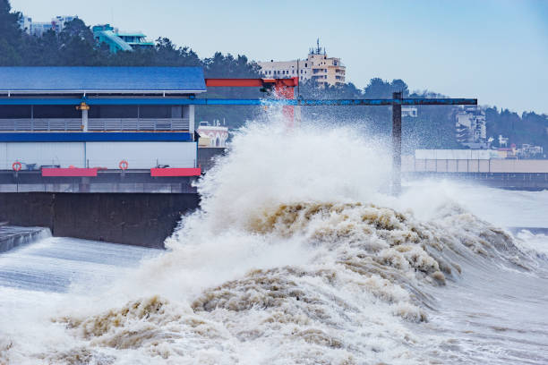
Cyclone, Tsunami & Flood Disaster Risk Assessments
Comprehensive hazard modelling to assess cyclone, tsunami, and flood risks, improving resilience and disaster preparedness strategies.

Environmental Baseline & Sustainability Studies
Environmental assessments and sustainability studies to support regulatory approvals and responsible land and marine project development.
Portfolio / Selected case studies
Selected project experience demonstrating Nusail’s capability in land, marine, drone and geospatial survey projects. Full project references can be provided upon request.
Use Bathymetric or Marine filters for port and seabed-related examples among completed survey projects Oman.
Contact / request quotation
Outline marine limits, vessels, HSE expectations and deliverable standards for our team to respond.
Oman office
Building No. 9459A, Way No. 897, Mawaleh North, P.O. Box 143, Postal Code 311, Sultanate of Oman